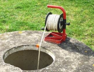
The hydrogeological unit of the Beauce limestones, commonly known as the “Beauce nappe” extends over 9000 km2 between the Seine and the Loire. It is located in two hydrographic districts authorities, Loire-Bretagne and Seine-Normandie, and two regions, Center and Île-de-France. The level is estimated by piezometric measurements.
A piezometer is an unexploited borehole that measures the level of groundwater at a given point in the water table. The measurement of this level can also be done on any borehole where it is possible to slide a probe.
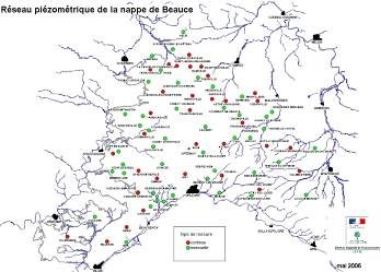
We have surveyed for Agence de l’Eau Loire Bretagne nearly 500 holes distributed over the whole of Beauce with the additional level of the water table determined by means of a probe. On the map below, published by DREAL Centre, only a part of them, regularly monitored, is represented.


