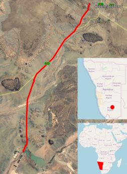
The town of Keetmanshoop, in Karas (Namibia), is located 450 km south of the capital Windhoek. It is supplied with water from the Naute dam 45 km away by a pipeline dating from the construction of the dam in the 1970s.
The company ALTEREO responsible for carrying out a preliminary study for the renewal of this piplinee, entrusted us with a mission of drone mapping survey in order to produce an orthophotoplan and a DTM.
The mission was carried out in February 2019. We used a senseFly eBee with a sensor senseFly S.O.D.A (corridor mode) for flights and a couple of Trimble GNSS receivers for GCP’s.

Tracé et localisation
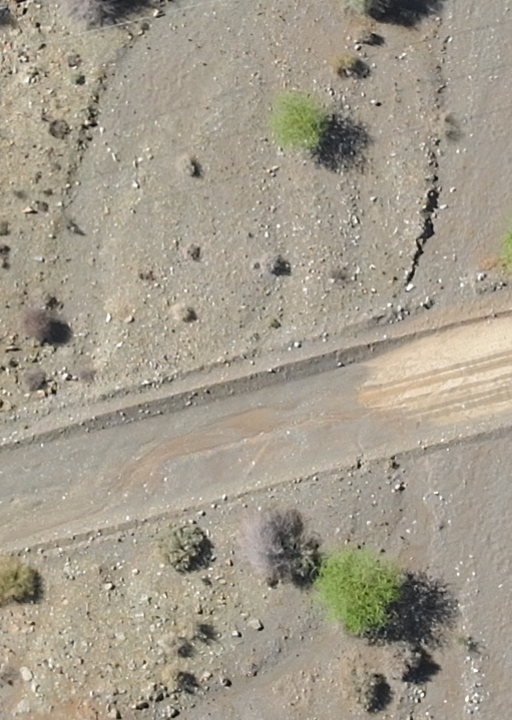
The environment was particularly favorable since we were in a desert type landscape with few shrubs as shown in the photo below.
Some indications to quantify this operation:
- 33 flights and a little more than 3900 photos were necessary to cover the area with at least 5 strips per flight for a restored width of 120 m in the current section plus a few extra widths.
- 120 GCP’s (Ground Control Point) has been surveyed for georefrencing and quality control.
- The longest flight was approximately 2.5 km
- The average flight height was 180 m for a GSD of 4.7 cm
-
Fieldwork was done in less than 6 days, with 2.5 days for GCP’s and 3 days for flights.
Processing was done on software Pix4D mapper.
If the operation was generally carried out perfectly and the result considered satisfactory by the customer, we had to deal with some difficulties related to the environment:
- It was hot, which we can expect in this region and at that time, and that forced us to regularly interrupt the flights to allow the drone (sensor and engine) to cool.
- We had chosen to supplement the GCP’s with manual tie points during processing to improve accuracy, but they were not easy to identify on the images with this fairly uniform terrain.
To find out more about our drone services, see our page dedicated to drone mapping


