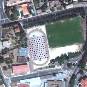
In 2011 and 2012, IGN entrusted several photogrammetry companies with the task of establishing DEMs (Digital Terrain Models) by airborne lidar process along several rivers for the production of flood risk prevention plans (PPRI).
Two of them, totaling half of the lots, subcontracted to us the survey of the reference areas they needed.
Over these two years, and in reality over two short periods of 2011 and 2012, we collected 5,275 points spread over 93 sites.


