We work with both equipment ranges to offer the following services:
On this page, you will find more general information on the use of GPS in several professional contexts:
Environment & golf courses
The use of electronic equipment in golfing has been authorized since early 2006. GPS systems are now used for simple distance calculations or for carrying out more complex services. The various receivers on offer to golfers are all equipped with a database (graphic or not), including at least the position of the green (and if possible that of the flag).
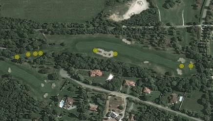
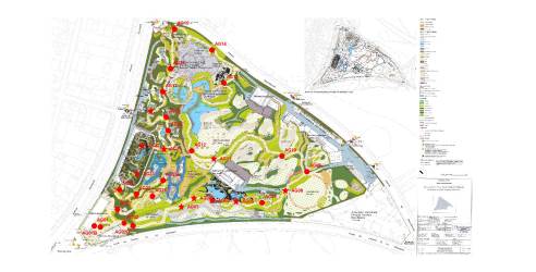
Green keepers require accurate maps of the course’s various technical facilities and zones for efficient maintenance and watering.
We work in conjunction with the firm Mobitee (among others) for these applications. Mobitee has developed an application suitable for use on digital tablets and Smartphones.
Linear structures
During the study phase, many factors have to be taken into account to find the best alignment, which naturally depends on the type of line or pipe works involved in the project. Generally speaking, vertical and horizontal alignment must be studied (and cross section in some cases), together with accesses.
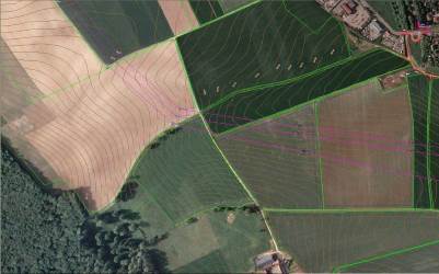
GPS/GNSS makes it easier to draw up the maps necessary for these studies using topographic surveys or aerial mission calibration. It guarantees a homogenous map, even over very long distances.
During the works phase, the exact location of the axis, pylons, manholes and other elements can be studied faster than with traditional methods. Using a GPS/GNSS, it is also easier to pinpoint road crossings (or other constructions) and determine at what distance the network will cross a particular point, prior to the installation of any topographic facilities.
We have contributed to building several hundreds of kilometres of networks for power line manufacturers or as subcontractors to design offices working for them
In the works phase, the exact layout of the axis, pylons, manholes, or other elements will be carried out more quickly than by traditional methods. With a GPS it is also easier to locate road crossings (or other works) or to determine the distance at which the network will pass from a particular point, and this before any establishment of topographic infrastructures.
Intervening for power line construction companies or in subcontracting for design offices which collaborate with them, we participated in the construction of several hundred kilometers of networks.
Topography and GIS
Although the boundary between these two disciplines is diminishing due to the increasingly-high accuracy obtained with GPS/GNSS mapping receivers, we can generally distinguish:
It has been our core business since 1990 and that is what we are.
Civil Engeneering, Mines and Quarries
Civil engineering, mines and quarries are major topographic survey consumers. GPS/GNSS systems are therefore widely employed in this environment.
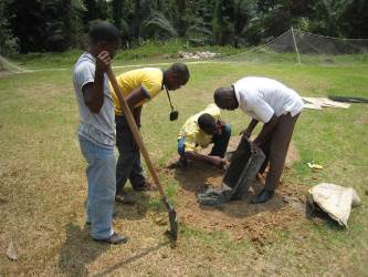
Usually, the first jobs performed on a new construction site are staking out the project area, finding and clearing access routes, taking geotechnical soundings and installing temporary living quarters. GPS/GNSS technology is a valuable time-saver right from the outset, as it allows accurate stake out of isolated points or lines from distant reference points even before the traverse is performed.
Construction firms often call on us at the start of a project because they do not possess the equipment, time or expertise necessary for post-processing (vital in countries without reliable geodetic infrastructures), or simply for reasons of liability and neutrality.
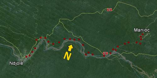
We have performed several hundred km of traversings in France and various African countries.


