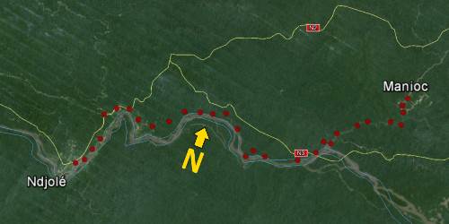
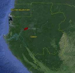
This 50 km long site had the particularity of being for the most part under dense plant cover. To position the vertices of the traverse, the French company in charge of the works (Dragages et Travaux Publics, now Bouygues – Travaux Publics , filiale du groupe Bouyghes Construction) initially enlarged some existing platforms so that GPS can pass.
The survey used for the study of the project, carried out by a local company, had been made in the Gabonese coordinate system (GTM02) which is distinguished from UTM32 by a different origin so that the country is only covered by a single area.
We highlighted a leveling error of around 70 cm between the start and the end of the project on the initial survey (bounds). This error comes from not taking into account the variation in ripple of the geoid. It is common when GPS is used by poorly trained operators.


