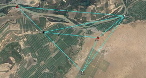
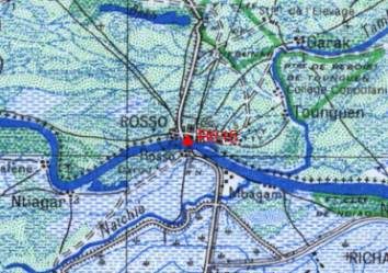
The farm for which this mission was carried out operates several tens of thousands of hectares. Its tractors are fitted with guide bars for working in RTK. Given the size of the operation, 3 stations are used so that the RTK signal, transmitted by radio, is received throughout the operation. Their coordinates must be homogeneous at the centimeter level because a tractor can work very well with 2 different stations on the same plot.
We determined their coordinates using GPS / GNSS observations recorded on these stations and connecting observations made with a receiverTrimble R8 on vertices of the new Senegalese Geodetic Network (RSS).


