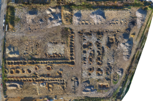
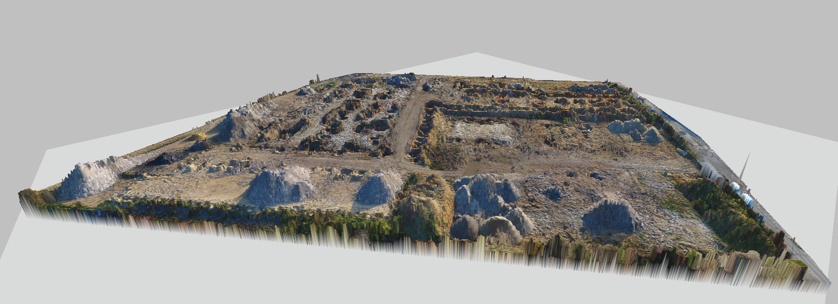
Public works sites are privileged fields of action for drone mapping.
It often happens that a plot is so heckled that it is difficult, if not impossible, to use a conventional topographic survey to have a starting base (the zero state) and that it is preferable at this stage to establish places a procedure for measuring cubatures by drone.
The Digital Terrain Model (DTM) which will be used as it is by standard topography software or which will be used to produce contour lines.
The georeferenced orthophotoplan which will eventually be vectorized.
The surveys during the works can also be done by drone, which will allow a cubature calculation by comparison of the successive states of the different DTMs or by conventional method.
On software like Global Mapper orTrimble Business Center, or certain topography software, It will be possible to extract with a click of the mouse the volume of each material inventory in the lower part of the image.
To find out more about our drone services, see our page dedicated to Drone mapping


