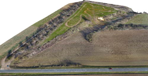
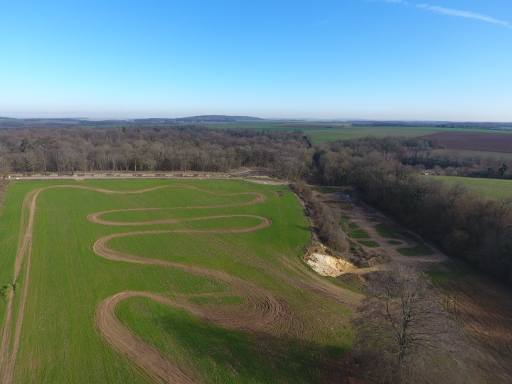
A development project was imagined, with filling of the lowest part. The prior study of this project requires a topographic survey with the creation of a DTM.

The drone survey lent itself particularly well to this operation and flying during the winter period, generally not very conducive to photogrammetry, made it possible to discover the tree-lined runway that runs along the plot perpendicular to the road to also extract some altitudes from it.
The georeferencing of the result (CC49 / NGF) was performed by Trimble brand GNSS with the differential corrections of the Teria national CORS network. To guarantee accuracy, we placed around twenty targets before the flight, which we surveyed twice (before and after the flight).
The files produced will allow the design office or the design office to calculate the backfill cubatures.
To find out more about our drone services, see our page dedicated to drone mapping


